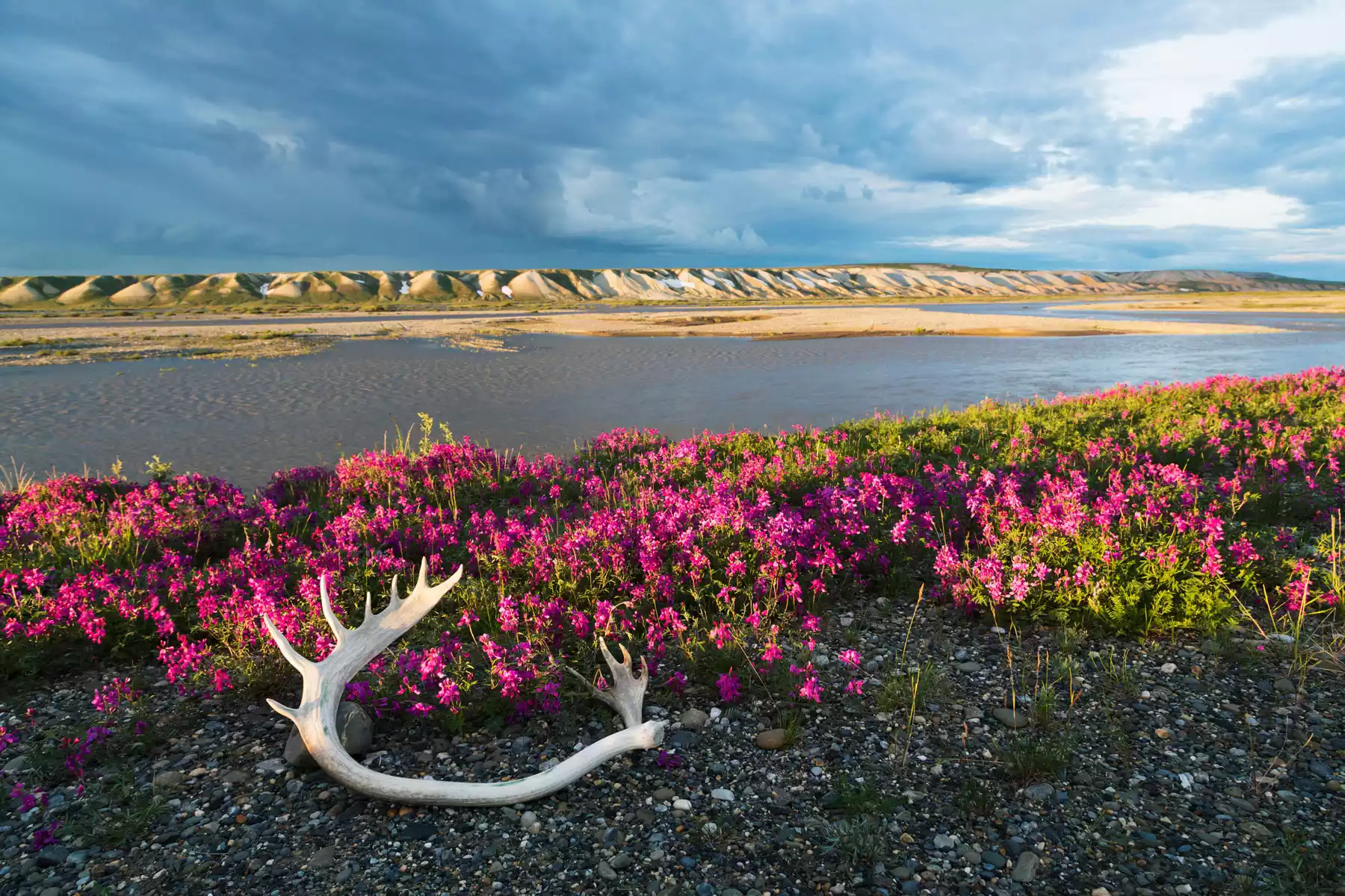
The Far North region of Alaska encompasses the Arctic Circle, Alaska’s North Slope and the Brooks Range.
The Far North is a sparsely populated arctic wilderness, a place where caribou outnumber people.
In the Far North you will find Athabascan, Inupiaq and Nunamiut Eskimo villages..
Gates of the Arctic National Park, Kobuk Valley National Park, Noatak National Preserve and the Bering Land Bridge National Preserve, and other nationally protected lands cover much of the Far North.
These undeveloped parks are not serviced by park rangers and are completely wild, irresistible to Alaska adventure seekers.
This is a land of extremes, where record temperatures range from 80 degrees below to 100 degrees above zero. Barrow, Nome, Anaktuvuk Pass, Bettles, and Fort Yukon are some of the most visited villages in Alaska’s Far North. In Barrow, the farthest north community in the US, the sun does not set for 75 days during the summer and it does not rise for 60 or more days of darkness in the winter. Nome, located on the Bering Sea, is a Gold Rush town where you can still pan for gold right on the beach before dining on a fresh king crab feast. It also has a rich dog sledding history as the end of the Iditarod Trail. Deadhorse is a more recent community built at Prudhoe Bay when the Trans-Alaska Pipeline was under construction. A community with a rich history is Anaktuvuk Pass, a year round village as well as the location of the Gates of the Arctic National Park ranger station. There is only one highway that links this vast, remote region to the rest of Alaska. The Dalton Highway is mostly unpaved and prohibited by rental car agencies. The best way to travel the highway is on a van or bus tour from Fairbanks to the Arctic Circle, or the entire length of the highway to Prudhoe Bay. You will see the Pipeline at several points along this route, as well as the 2300-mile long Yukon River. Most destinations in the Far North are accessible only by airplane. Alaska Airlines offers jet service to Barrow, Nome, and Kotzebue, while bush planes are used for Bettles, Anaktuvuk Pass, and other villages, national parks and wildlife refuges.
4 results for Far North | Arctic Circle | Nome